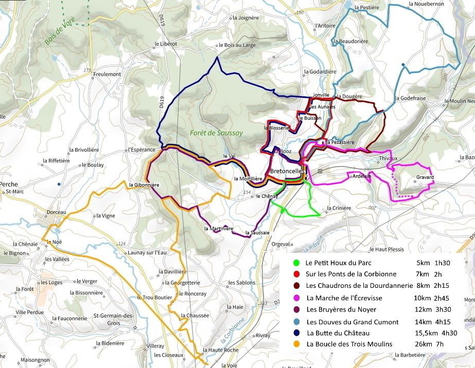
Hiking Trails
8 hiking trails around Bretoncelles
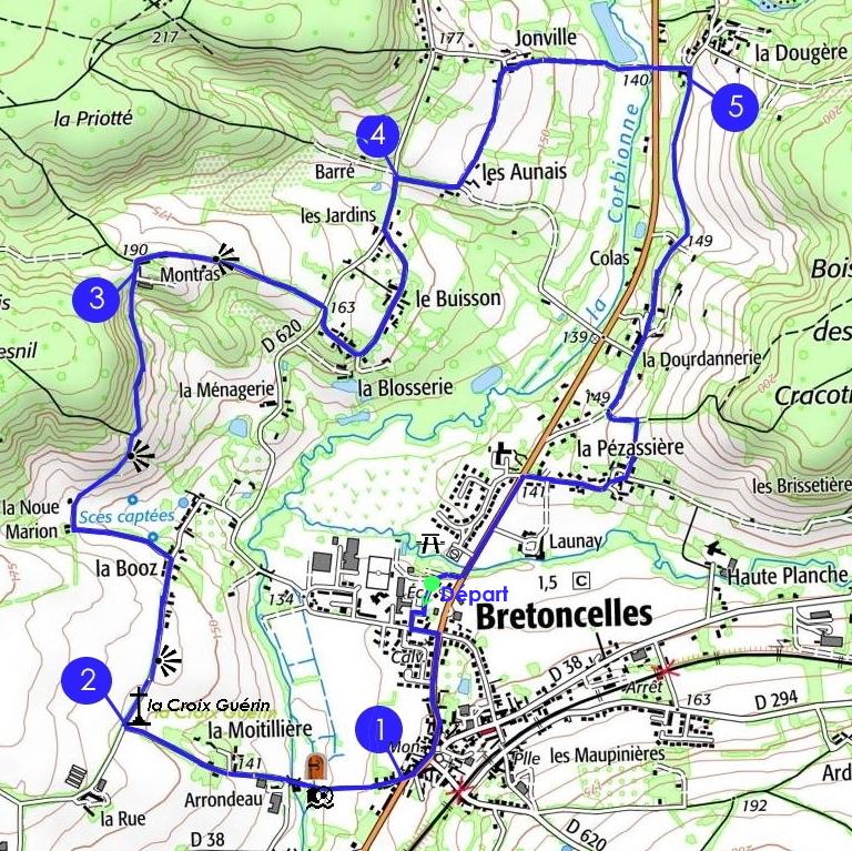
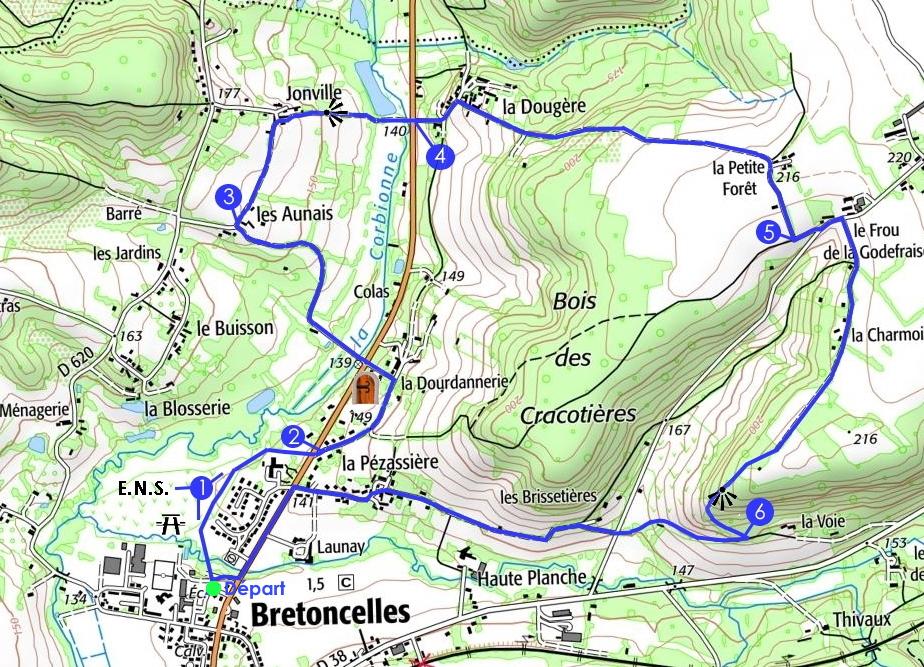
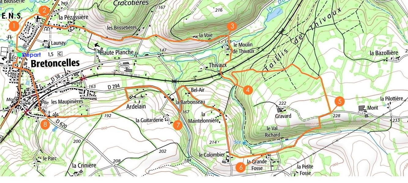
Map of the 8 hiking trails departing from Bretoncelles : (click on map for popup)
 |
 |
 |
Walking has benefits for your health!

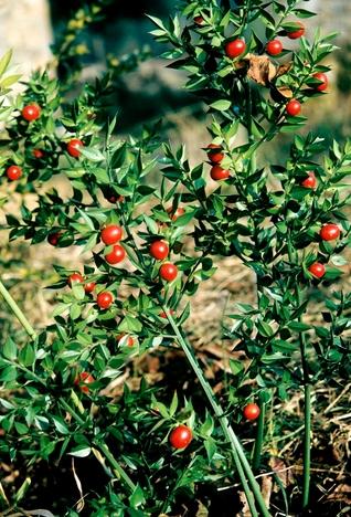
Le Petit Houx du Parc
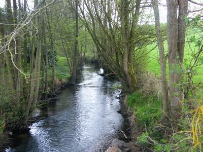
Sur les Ponts de la Corbionne (The Bridges over the Corbionne)
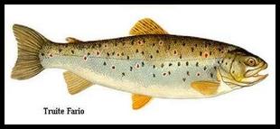
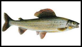 Brown trout Grayling
Les Chaudrons de la Dourdannerie (The Cauldrons of Dourdannerie)
La marche de l'Écrevisse (Crayfish Walk)
Distance and time : 10 km ( 2 hours 45)
To discover :
♦ La Donnette : tributary of the Corbionne, at the mid-point of this walk, which is the habitat of the white clawed crayfish (protected species), by virtue of its water quality. It can be found under pebbles, rocks and stones as well as roots. This species is sensitive to turbidity in the water.
♦ The hamlet of la Pezassière, which was the target of a Prussian bombardment on 21st November 1870, causing six civilian deaths.
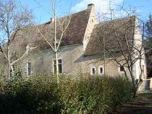
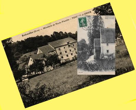
♦ The mill (moulin) of Haute Planche, in activity until 1976. Milled produce from here represented a third of the production of the department of Orne.
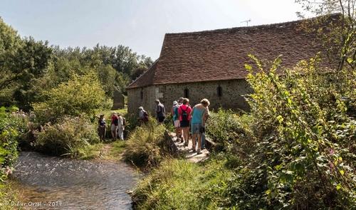
♦ The mill at Thivaux with its ford across the Donnette.
♦ Exceptional views of the centre of Bretoncelles all along the route.
Last edited: 20/08/2025